Examples
The web map examples in this section are set up to render a basemap layer from Wikimedia and vector tiles from pg_tileserver
running on a local machine, using popular open source JavaScript web map components.
Load Natural Earth Data
Database preparation
The following terminal commands will create a database named naturalearth, assuming that your user account has create database privilege:
createdb naturalearth
Load the PostGIS extension as superuser (postgres):
psql -U postgres -d naturalearth -c 'CREATE EXTENSION postgis'
Import shapefile
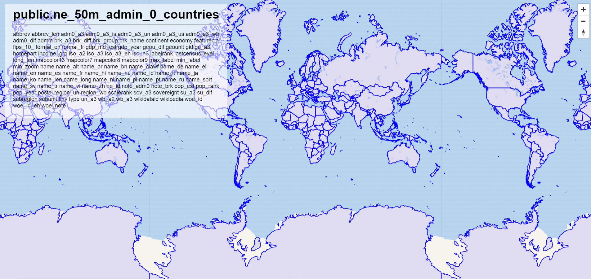
The data used in the examples are loaded from Natural Earth. Download the Admin 0 - Countries ZIP and extract to a location on your machine.
In that directory, run the following command in the terminal to load the
shapefile data into the naturalearth database. This creates a new table ne_50m_admin_0_countries, with the application user as the owner – refer to Table Layers and Security for more information on access to spatial tables on pg_tileserv.
shp2pgsql -D -s 4326 ne_50m_admin_0_countries.shp | psql -U username -d naturalearth
You should see the ne_50m_admin_0_countries table with the \dt SQL shell command.
Make sure that pg_tileserv connection specifies naturalearth, i.e.: DATABASE_URL=postgres://username:password@host/naturalearth. With the service running, you should also see the layer on the web preview, i.e.: http://localhost:7800/public.ne_50m_admin_0_countries.html